The 2026 Series

Four events built for local government.

Each session features practitioners, technology experts and public-sector leaders sharing practical examples — from the accurate municipal baseline to public-safety response.

2026 Dates TBD
Event 01
Creating the Accurate Municipal Baseline
The Municipal Baseline

Creating the Accurate Municipal Baseline

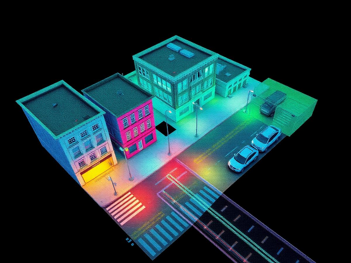
Local governments need a reliable understanding of existing conditions before they can plan, design, maintain or improve infrastructure. This session explores how 3D reality capture creates an accurate digital baseline of roads, buildings, utilities, public spaces and municipal assets.

Attendees will learn how a single high-quality dataset can support GIS, surveying, engineering, asset inventories and capital-project planning — while reducing repeat site visits and improving coordination across departments.

Key topics
  • Building an accurate record of existing conditions
  • Capturing roads, buildings and public infrastructure
  • Supporting GIS, CAD and engineering workflows
  • Reducing duplicated fieldwork
  • Creating reusable data for multiple departments
Event 02
From Point Clouds to Municipal Digital Twins
Digital Twins

From Point Clouds to Municipal Digital Twins

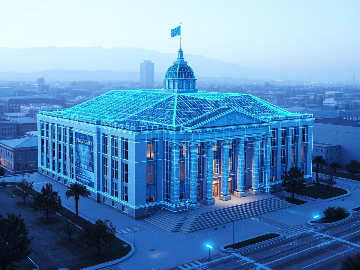
Capturing data is only the beginning. The real value comes from transforming that information into something local-government teams can use every day. This session examines how point clouds, imagery and 3D models can support digital twins of municipal buildings, facilities, public spaces and infrastructure.

Speakers will discuss how reality-capture data connects with GIS, CAD, BIM and asset-management systems — supporting renovation planning, facilities management, remote inspection and long-term asset stewardship.

Key topics
  • Moving from point clouds to usable information
  • Creating digital twins of municipal assets
  • Connecting 3D data with GIS, CAD and BIM
  • Supporting facilities planning and maintenance
  • Improving collaboration between departments and contractors
Event 03
Faster, Safer Infrastructure Inspection
Inspection

Faster, Safer Infrastructure Inspection

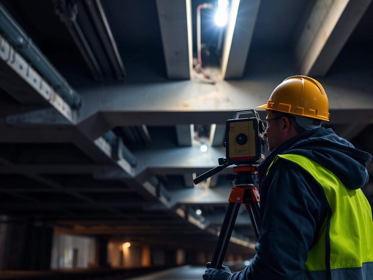
Inspecting roads, bridges, tunnels, drainage systems and public facilities can be time-consuming, disruptive and dangerous. This session explores how 3D laser scanning and mobile mapping can help local governments document infrastructure more quickly — while reducing the time personnel spend in traffic, confined spaces and difficult-to-access locations.

Attendees will learn how detailed digital records can support condition assessments, maintenance planning, change detection, contractor coordination and capital-investment decisions.

Key topics
  • Improving the speed and safety of inspections
  • Documenting bridges, roads and public facilities
  • Supporting condition assessment and change detection
  • Reducing disruption to the public
  • Creating defensible records for planning and engineering
Event 04
3D Reality Capture for Police, Fire & Emergency Response
Public Safety

3D Reality Capture for Police, Fire & Emergency Response

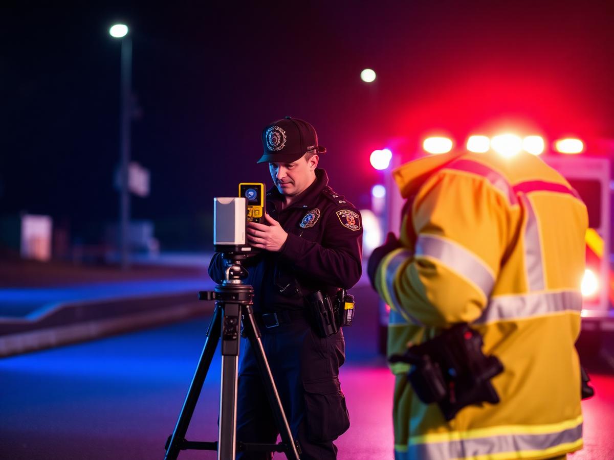
Public-safety teams need accurate information when documenting incidents, investigating scenes and preparing for emergencies. This session examines how 3D reality capture creates a permanent, measurable and shareable record of crime scenes, vehicle crashes, fire damage and complex public environments.

Speakers will also explore how 3D models of schools, public buildings, stadiums and critical facilities improve situational awareness, interagency coordination and emergency preparedness.

Key topics
  • Crime-scene and crash documentation
  • Fire and arson investigation
  • Courtroom-ready visualization
  • Pre-incident planning
  • Mapping schools, public buildings and critical facilities

Register for the series

Save your seat for all four sessions and get the recordings, resources and post-event insights.

Register now