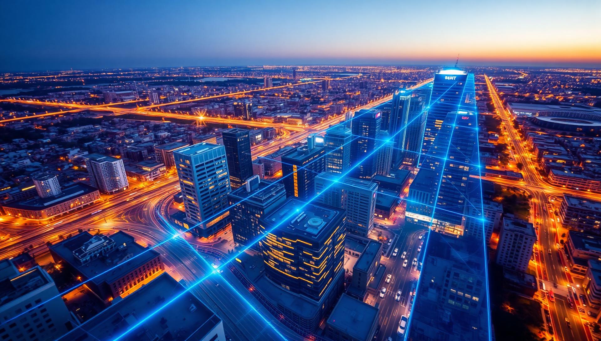
Capturing the City
3D Reality Data for Local Government
Practical education for the people who plan, build and maintain the physical world — from public works and engineering to GIS, facilities and public safety.


Four sessions. One complete picture.
A practical journey through the technologies transforming how local governments capture, model and use the physical world — from laser scanning and mobile mapping to point clouds and digital twins.
Explore all sessionsThe city gets more complex every year.
Local governments manage an increasingly complex physical environment — roads, bridges, buildings, utilities and critical infrastructure. Reality data creates a trusted foundation for better decisions.
"The future of local-government decision-making begins with an accurate understanding of the physical world."
The people who run the city.
Designed for professionals working across local government — from public works and engineering to GIS, facilities, transportation, utilities and public safety.
See the city more clearly.
Plan, operate and respond with confidence.
Join the Capturing the City series to explore how 3D reality data helps communities manage public assets with greater confidence.